Neighbourhood Nature
Discover nature on your doorstep using the iNaturalist app in your streets, parks and gardens, and help create a wildlife map of NE Leeds.
Wildlife in North East Leeds
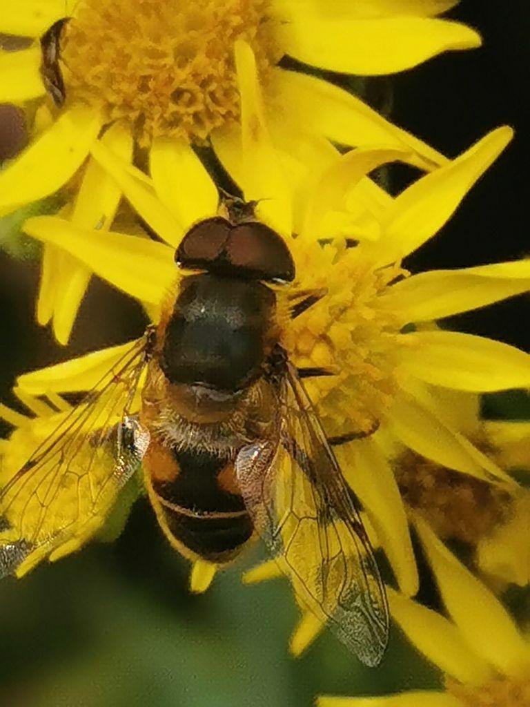
The local nature and environment groups in North East Leeds are using the iNaturalist app to record the plants, animals and fungi around us. We will use the data to plan small street and garden level interventions to help wildlife flourish in our neighbourhood. You can take part by making observations in your garden and in your favourite green spaces. The app will help you identify your photos, experts will verify them and we will all have a record of the wildlife you observed. The photos on this page are some of the hundreds of observations we have made. Follow the link below to see more.
Our project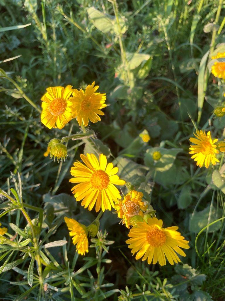


How to take part
01
Download the iNaturalist app
Download iNaturalist from your phone app store. It’s free!
02
Join our project
Create your account and then in 'Projects' search for 'Neighbourhood Nature North East Leeds' and join. iNaturalist is used worldwide to connect people to nature. It helps users identify plants and animals, while generating data for science and conservation.
03
Get started finding wildlife
In your garden, in ponds and streams, on verges, on brambles and nettles, in the park.
04
Click on the ‘+’ on your phone and take some clear photos
If it’s something big like a tree, take pictures of the whole tree, & close ups of the leaves & bark.
05
Save the photos on your app
The date and location should be added automatically. Now, wait for identifications from the I-Naturalist community!
06
Watch a how-to video
This short video shows you how to make observations using iNaturalist
Watch the videonature

What happens to the data?
Experts analyse and identify your photo and the records are sent to a national database. iNaturalist observations are used in thousands of scientific publications.
This data is used for council decision making about nature recovery and planning, so it’s vital that it is up-to-date, thorough and accurate.
We have access to the data and can use it to plan small-scale interventions in gardens and streets to help link up our green spaces.
Take a look at our project map on iNaturalist on your laptop and you can see the observations we have made and their locations.
Here are some useful links to help you
water
